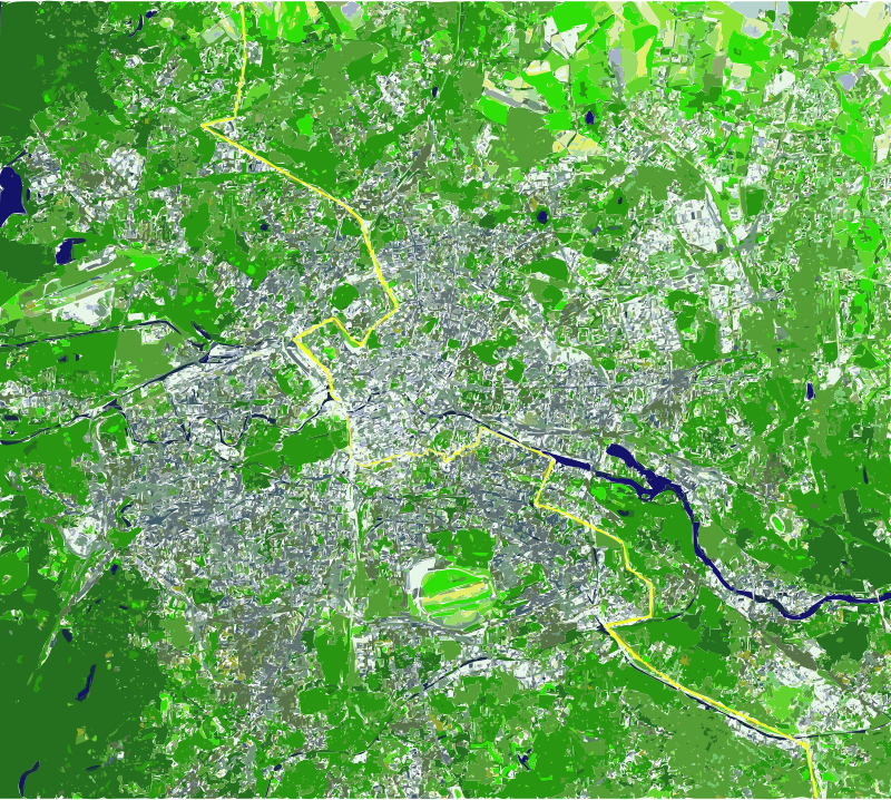
Berlin Wall as line on Map
by wallpapergirl - uploaded on November 9, 2014, 11:41 pm
The Berlin Wall as a line on a satellite map depicting its cutting in half, East and West Germany, now both reunified as one Germany. Source Public Domain Image: http://commons.wikimedia.org/wiki/File:Berlin_satellite_image_with_Berlin_wall.jpg
Log into OpenClipart
- Tags
- 25th anniversary berlinwall east freedom germany map mauer reunification upload2openclipart wall worldnews
- Safe for Work?
- Yes
0 Comments. Please login to comment or add your own remix.