Email support@openclipart.org for Lost Password or Account Issues. Thankyou.
by j4p4n - uploaded on September 7, 2018, 4:21 pm
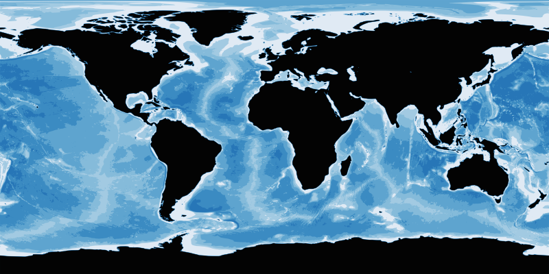
Bathymetry is apparently a digital image that shows the undersea land surface and water depth. This is based on a NASA public domain image.

2 Comments. Please login to comment or add your own remix.